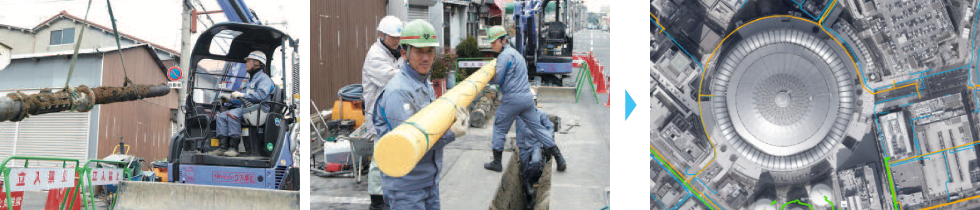
3D photo technology (to convert piping filmed by a smartphone into a 3D drawing) is used to automatically create a completion drawing and maintain the pipeline map just by filming the piping after construction on-site. This helps reduce working hours.
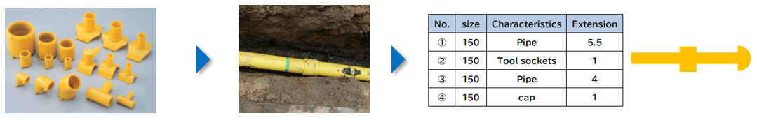
When gas pipes are buried in construction work, it is necessary to record the locations and types of gas pipes buried and maintain the pipeline map.
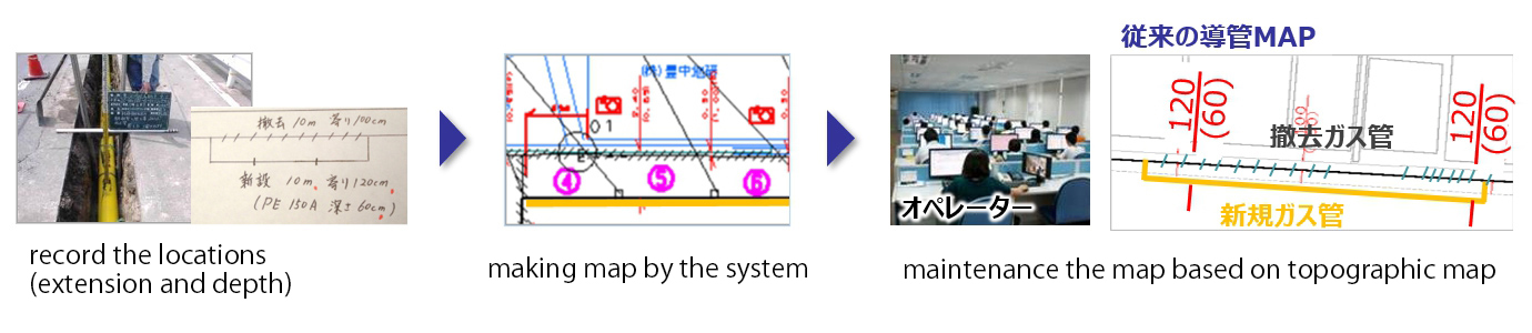
The distance and depth from the right-of-way line are measured using a scale on-site. The condition of the piping is recorded in a field notebook.
Dedicated software is used to create a completion drawing by adding the piping route (such as length and distance from the site boundary) to the design drawing based on the details of construction work recorded in the field notebook.
The completion drawing data is sent to the department responsible for maintaining the pipeline map. The location of the construction site is searched on the pipeline map. The completion drawing data is pasted while making fine adjustments.
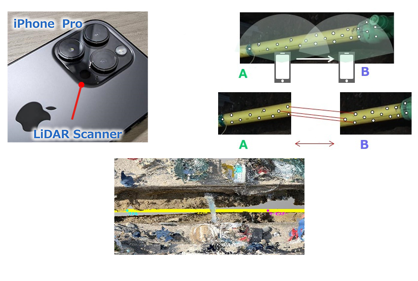
The condition of the piping after construction is filmed using a smartphone. The absolute coordinates of the piping is also obtained using GPS, etc., and the data is transmitted to the dedicated computer.
3D photo technology is used to create a 3D drawing of piping based on the transmitted video data (Information such as the length and depth of piping is converted into 3D data). A plan view is automatically generated.The plan view data, which contains information about length and depth, is superimposed on the design drawing and pipeline map to promptly create a completion drawing.
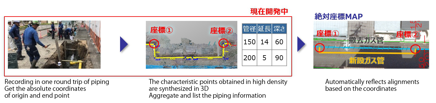
Efforts have been made to enhance the on-site response, such as tabulation of joints, linear interpolation of blind spots, and linkage of piping results on multiple days by AI training.
We will also propose solutions to gas suppliers.